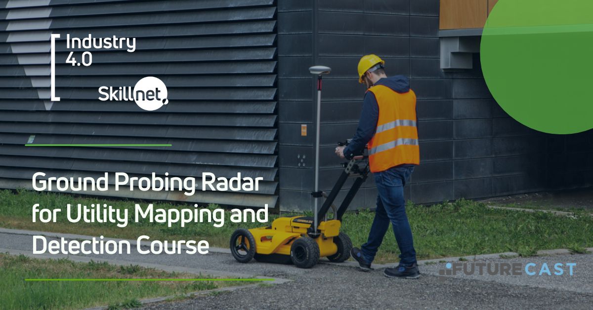
Ground Probing Radar for Utility Mapping and Detection Course
The Industry 4.0 Skillnet funding is available to Irish Private Construction, Manufacturing and Quarrying companies (including Sole Traders).


Course Objectives
Understanding GPR principles and get the foundations in the principles and theory, including electromagnetic waves propagation, signal reflection and data acquisition
Familiarity with the equipment and minimum components required of the system.
Proficiency in data interpretation developing skills in interpreting GPR Data
Survey Planning and execution selecting the appropriate antennas frequency based on application.
Who should attend?
The course is available for anyone to want to learn and use GPR Detection equipment and software for implementing in site constructions, design, utility mapping and survey etc.
Subject Covered:
Ground probing radar principles, operations, and application in the constructions industry
Introductions: basic principles and applications
Components: antennas, accessories , body parts, data acquisition software
GPR survey planning and data acquisition
Data interpretation and analysis
Field exercise and workshop
Limitations and challenges on site
Case studies
Safety considerations and guidelines, best practices
Day 1 from 9:00am to 16:00pm
1. What is a GPR.
2. How a GPR works.
3. How Radargram image has been produce.
4. Radargram and Frequency channels.
5. GPR basic principles and theory.
6. What can and c an’t be found with a GPR.
7. Examples of GPR targets and workshop.
8. Ground Probing Radar Arrays.
9. Best practices for GPR Survey s
Day 2
Half day Hardware System Setup: Data acquisition by Free path and Grid System
Half day Software: uNex t : Site Survey Reports;(Data Analysis)
Upcoming Public Dates
Visit our Training calendar here.
Price
Full Price €495 / Industry 4.0 Skillnet Price €346.50
Duration
2 Days
Location
Dublin
Regions
Learning outcomes:
Gain a strong understanding of principals of GPR technology.
Familiarity with setting of the equipment
Develop the ability to interpret GPR data effectively, recognizing and analysing subsurface features and anomalies.
Placing targets and estimate their buried depth using the software.
Gain utility detection knowledge and utility tracing skills
Experience in fieldwork and practical exercises, including data collection and real world scenarios.
Develop the ability to create site survey reports and survey results presentation and data export.